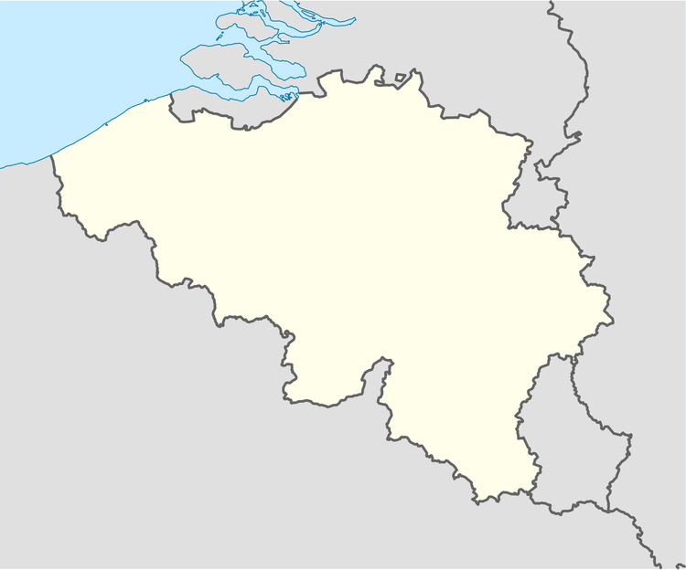
Category: Image Maps > Belgium blank map
Coloring page, drawing, picture, school, education, primary school, educational image: Belgium blank map
Keywords: Belgium blank map, map, Belgium,
Image information
Permission is granted to copy, distribute and/or modify this document under the terms of the GNU Free Documentation License, Version 1.2 or any later version published by the Free Software Foundation; with no Invariant Sections, no Front-Cover Texts, and no Back-Cover Texts. A copy of the license is included in the section entitled "GNU Free Documentation License".
Author
NordNordWest
Source
own work, using United States National Imagery and Mapping Agency data